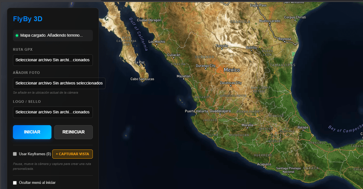
frontend / 3d / gis
FlyBy Hiking ↗
Cinematic 3D GPX route viewer featuring real terrain generation, animated flyovers, and an integrated photo gallery.
Explore project →Maps, connected systems and creative tools. Explore what I build and the technologies behind it.
4 projects · Hiking and maps
Cinematic 3D GPX route viewer featuring real terrain generation, animated flyovers, and an integrated photo gallery.
Explore project →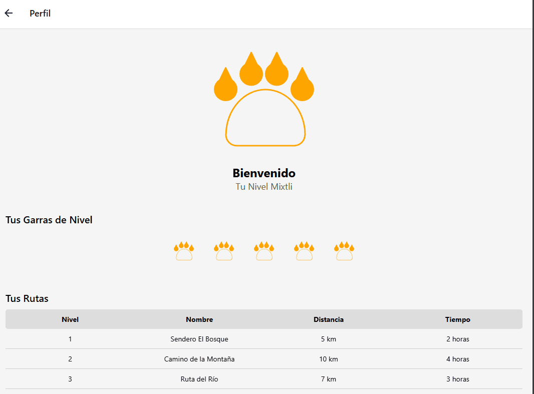
Cross-platform mobile hiking app featuring Tinder-style swipe mechanics for guide discovery, interactive maps, and gamified route tracking.
Explore project →
NestJS API for uploading, storing, and processing GPX hiking files.
Explore project →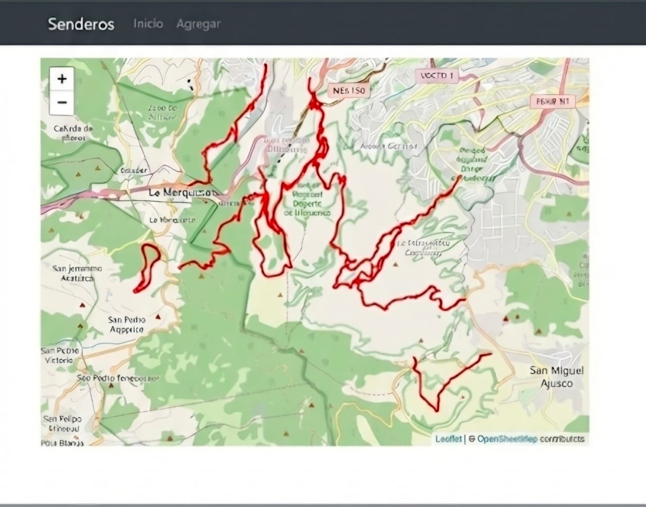
Next.js application with TypeScript for interactive map visualization of routes.
Explore project →The fundamental programming languages used for scripting, application logic, and systems programming.
Libraries and frameworks for building responsive UIs, 3D visualizations, and interactive maps.
Server-side architectures, API design (REST/GraphQL), and real-time communication.
Integration of hardware, sensors, and industrial protocols for automation and telemetry.
Solutions for relational, document-based, graph, and time-series data management.
Tools for CI/CD pipelines, containerization, and cloud resource management.
Integration of LLMs and frameworks for intelligent data processing.
Tools for UI design, 3D modeling, and mechanical engineering (CAD).