Development notes / frontend · 3d · gis
FlyBy Hiking
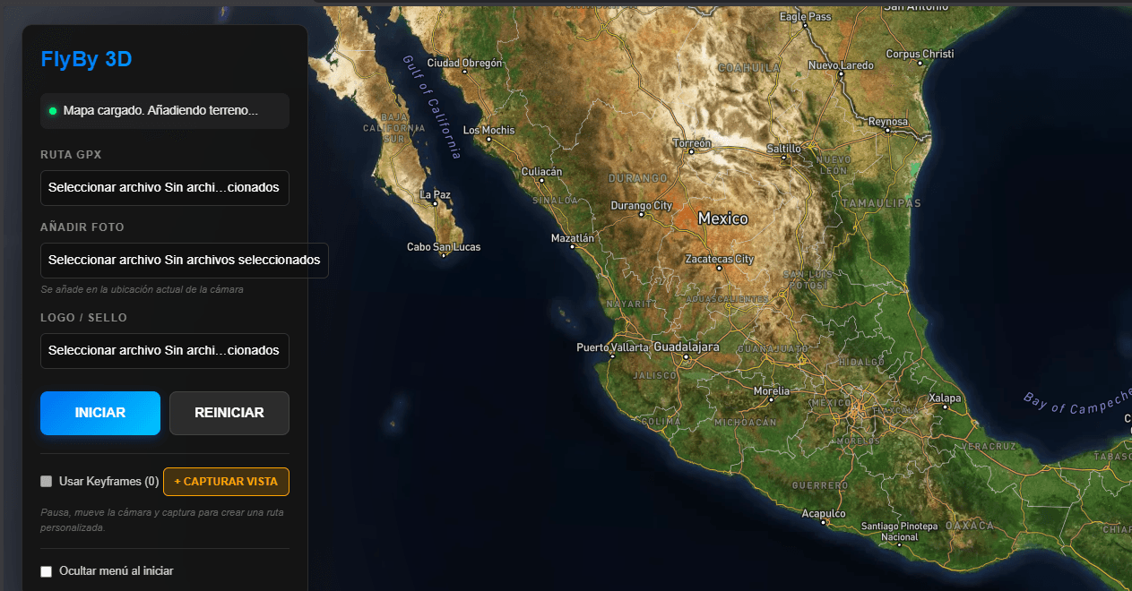
Cinematic 3D GPX route viewer featuring real terrain generation, animated flyovers, and an integrated photo gallery.
Purpose
Read a GPX route spatially, beyond a line on a map.
How it works
The viewer combines real terrain, animated flyovers and a photo gallery. Next.js and React organize the interface; Three.js and Mapbox GL provide the geographic visualization.
Documented scope
The project description documents terrain generation and animated flyovers. No verified performance metrics are included.
Summary based on the existing portfolio entry. No undocumented outcomes or metrics have been added.
Explore the code on GitHub ↗Talk about this project →